
Topographical Survey is carried out by using Total Station Survey Instrument. It does capture AND locate various Topographical Features like building out line, utility buildings, sheds, internal roads, sub-station, village roads, compound wall, fencing, Telephone lines, ponds, lake, culvert, trees, drainage, and all other visible on ground features at site.

DGPS (Differential GPS) is essentially a system to provide positional corrections to GPS signals. DGPS uses a fixed, known position to adjust real time GPS signals to eliminate pseudorange errors. An important point to note is that DGPS corrections improve the accuracy of position data only.
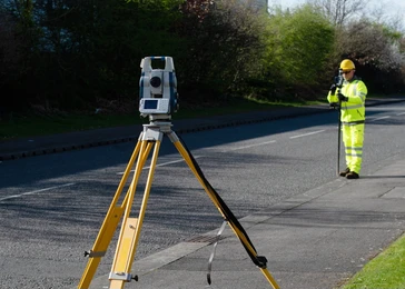
Topographical detail, road centre line, kerbs, top of kerb, Verge & lane markings, Street furniture, Manholes, catch pits and inspection covers, Drainage pipe inverts and culvert outflows.
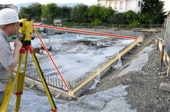
Pad, Strip or piles foundations set out, Building outline, Services & manhole locations, Location of block work or brick work corners, Retaining Walls, Grid Lines, Form work set out on footings, Roads or harbinger set out.

Levelling is a process of determining the height of one level relative to another. It is used in surveying to establish the elevation of a point relative to a datum, or to establish a point at a given elevation relative to a datum.
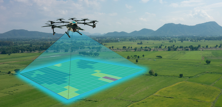
Drone surveys are a faster, safer and more cost-efficient way to survey at height. Sometimes referred to as aerial surveys, UAS (Unmanned Aerial System) surveys, or UAV (Unmanned Aerial Vehicle) surveys, drone surveys are an increasingly popular method of surveying form the air.

The Boundary Survey of the site can also be carried out by using Total Station Instrument based on the Boundaries shown by the Clients by fixing the Magnetic North of the Site. The above instrument gives the Correct Area of the Site with an accurate distance measurement as based on the Boundaries shown by the Clients, through GPS (Global Positioning System).
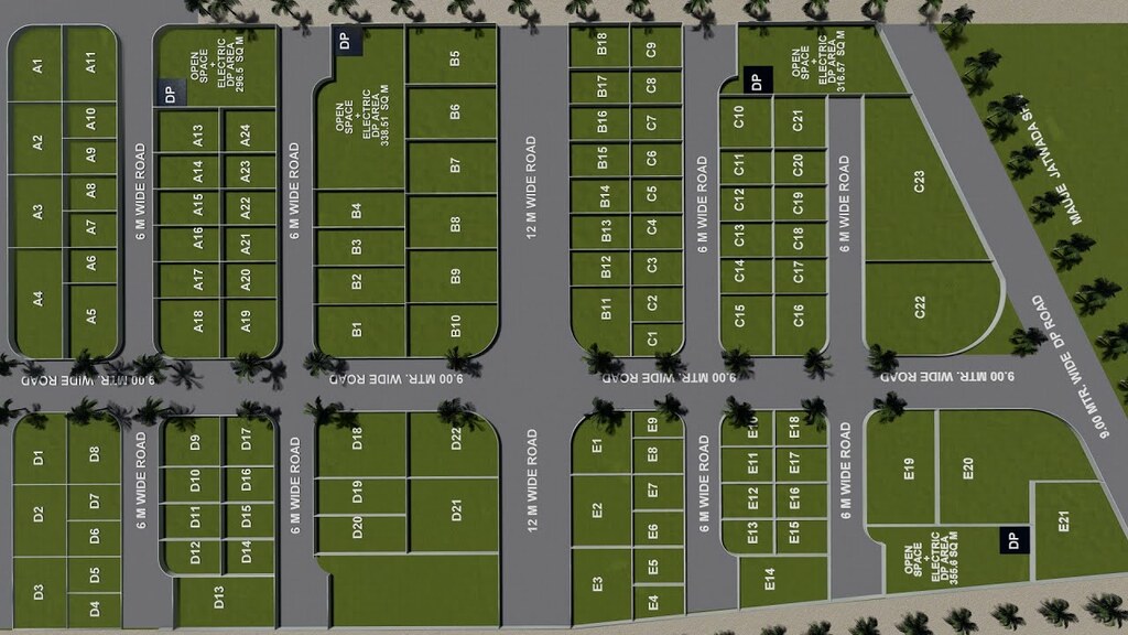
Layout Survey otherwise known as Site Layout Survey, is the process of portray Construction Project and marking the location of proposed design like roads or buildings.